By clicking “Accept All Cookies”, you agree to the storing of cookies on your device to enhance site navigation, analyze site usage, and assist in our marketing efforts. View our Privacy Policy for more information.
No items found.
No items found.
Atlases

World Geo-Graphic Atlas

1953
Herbert Bayer
Container Corporation of America

Full title

World Geo-Graphic Atlas; A Composite of Man's Environment

This is a wonderful example one of the best atlases ever made in the US. The atlas has been designed for a Container Corporation of America by an Austrian and American graphic designer, artist, photographer, typographer and architect Herbert Bayer, student of the Bauhaus art school who left Germany after Nazis begun attacking modern art, organising exhibitions of "degenerate" art in Germany in 1937. Bayer has been assigned to create an atlas by a chairman of Container Corporation of America, Walter P. Paepcke, and in cooperation with design director of Container Corporation Egbert Jacobson, Bayer managed to create "one of a kind" atlas with unique visual style, where "standard" maps are accompanied by rich graphic visuals, smaller thematic maps and charts with pictorial symbols which convey much better picture of the topic than ordinary tables of data.

Although the atlas was printed in 30,000 copies, it was never available for purchase to a broad public, but only distributed to customers of Container Corporation. Production costs of each copy were astronomical, reaching roughly around 16 USD per copy (keep in mind the real value of US dollar in 1950 was about 10 times higher than in 2020). Nevertheless, Paepcke reportedly declined offers from commercial publishing companies to reprint the atlas.

The topics this atlas covers include astronomy, geology, meteorology, climate, vegetation, transportation, economy, industry, agriculture, population, culture, religion and more. The maps of the US states were made and printed by Rand McNally, Chicago, Illinois. One of the most striking maps of this atlas, The Physiographic Map of the USA was originally designed by Erwin Raisz, author of The Atlas of Global Geography and two other highly sought-after atlases. Majority of the "foreign" maps of this atlas were supplied by Instituto Geografico de Agostini, Novara, Italy.

A great article about this atlas can be found here.

Condition

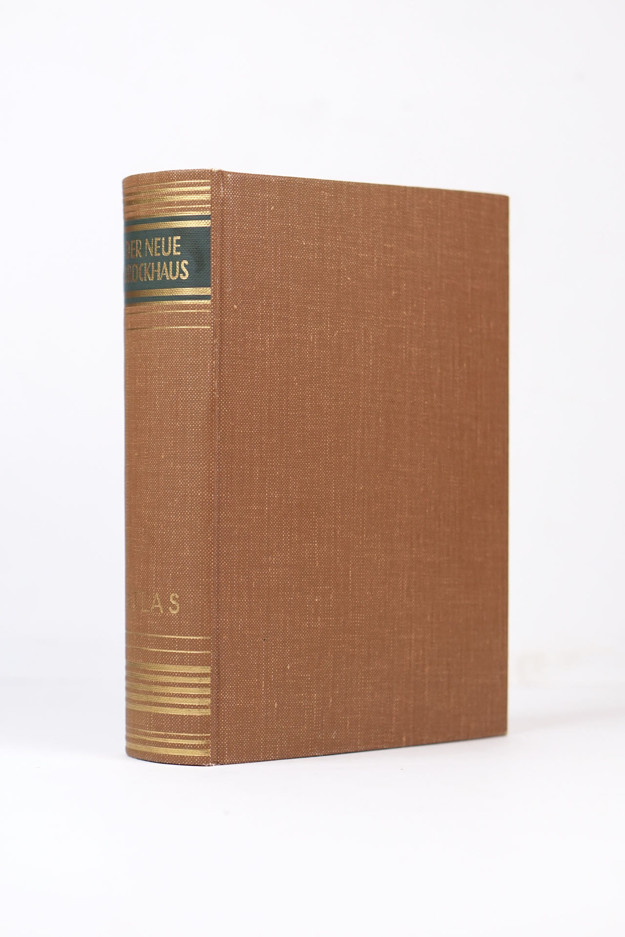
Complete including carton sleeve box. Excellent condition, the cloth boards are without any stains whatsoever (quite rare for this atlas). Front endpaper has small rubbed areas, otherwise pages are clean, no stamps, no marks or particular signs of use. The carton sleeve has rubbed edges, otherwise it's in good condition.

Maps
272 pages of maps
Width × Height
28,5 x 30
cm
Total map area
23.3
m2
Weight
2.9
kg
Price:
 €
Ask for price
Sold
Leave us your email below and we will let you now when it becomes available again.

Interested in buying this atlas?
We can ship worldwide! Ask for a shipping quote or let us know if you are considering buying this atlas. We can send you more photos or answer any questions.

By submitting this form, you agree to be bound by Atlaseum's Terms & Conditions and Privacy Policy.
Thank you!
Your submission has been sent! We will get back to you as soon as possible.
Oh no!
Something went wrong while submitting the form. Please try it again later.

Interested in the price of this atlas?
Ask us in the form below. We can ship worldwide!

By submitting this form, you agree to be bound by Atlaseum's Terms & Conditions and Privacy Policy.
Thank you!
Your submission has been sent! We will get back to you as soon as possible.
Oh no!
Something went wrong while submitting the form. Please try it again later.

Want to get this atlas?Give us your e-mail and we will let you know, once the atlas becomes available again.

By submitting this form, you agree to be bound by Atlaseum's Terms & Conditions and Privacy Policy.
Thank you!
Your submission has been sent! We will notify you when this atlas becomes available again.
Oh no!
Something went wrong while submitting the form. Please try it again later.

Related atlases: