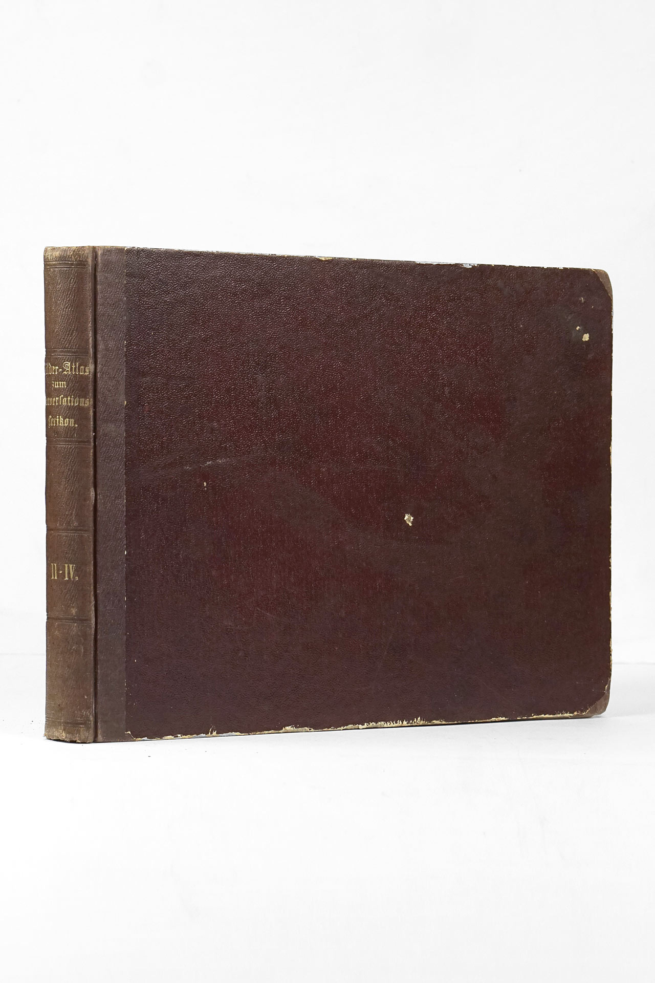
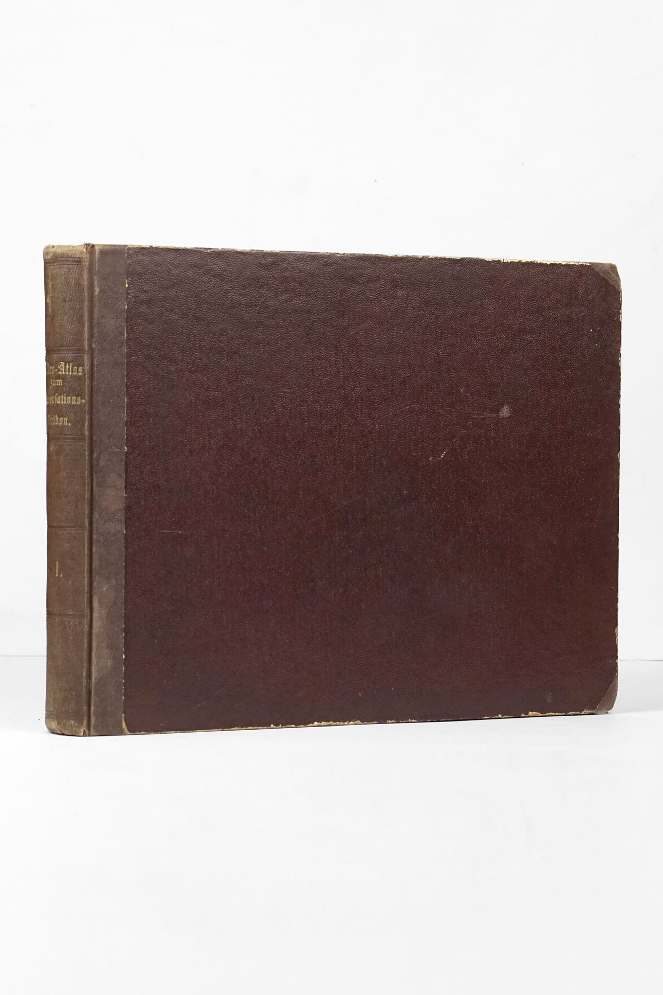
Extremely rare 'World atlas for the blind', created by Kurt Hildebrandt (*1901), a senior teacher for the blind from Hannover. The atlas contains 62 maps with embossed relief, with each map numbered and labeled in (german) braille. There are two main types of maps, political and physical, and most of the continents and important, mainly European countries and regions (like Spain, Italy, UK, Scandinavia, Balkan peninsula) and all continents except the Antarctica have separate maps in both of these types. The maps are "printed" on a heavy orangish parchment paper. The labels of the cities, countries and rivers etc. usually consist of the first one or two braille letters due to the space constraints. A special volume with an index of places names was most likely present, but unfortunately has not been obtained. The maps contain following types of raised symbols: lower mountains (small "double" dots), higher mountains (larger "double" dots), rivers (solid lines), dotted line running along a solid line (canals), coastline and lakes (dotted line), political borders (dashed line), cities (single large dots) and a pattern of tiny dots (sea). A special dash-dotted line is used on a map number one (Political map of Germany), marking the area of Germany before the Treaty of Versailles (1919) or later via plebiscite and League of Nation action, which stripped Germany of part of its land. It is unsurprising that the main focus of the maps was mostly on Germany and Europe.
The atlas comprises of following maps:
- 15 maps of Germany (including one special map with the main transport routes)
- 23 maps of Europe
- 5 maps of Africa
- 7 maps of Asia
- 2 maps of Australia
- 3 maps of Northern America
- 3 maps of Latin America
- 1 map of north polar region
- 1 map of south polar region
- 1 map of the eastern hemisphere
- 1 map of the western hemisphere
Besides Kurt Hildebrand working as a senior teacher in Steglitz, Berlin, as a member od the NSDAP (National Socialist German Workers' Party, also known as the Nazi party) and SA (Sturmabteilung - original paramilitary wing of the Nazi Party), he was concerned with the spread of the racial hygiene ideas among the blind children.


