By clicking “Accept All Cookies”, you agree to the storing of cookies on your device to enhance site navigation, analyze site usage, and assist in our marketing efforts. View our Privacy Policy for more information.

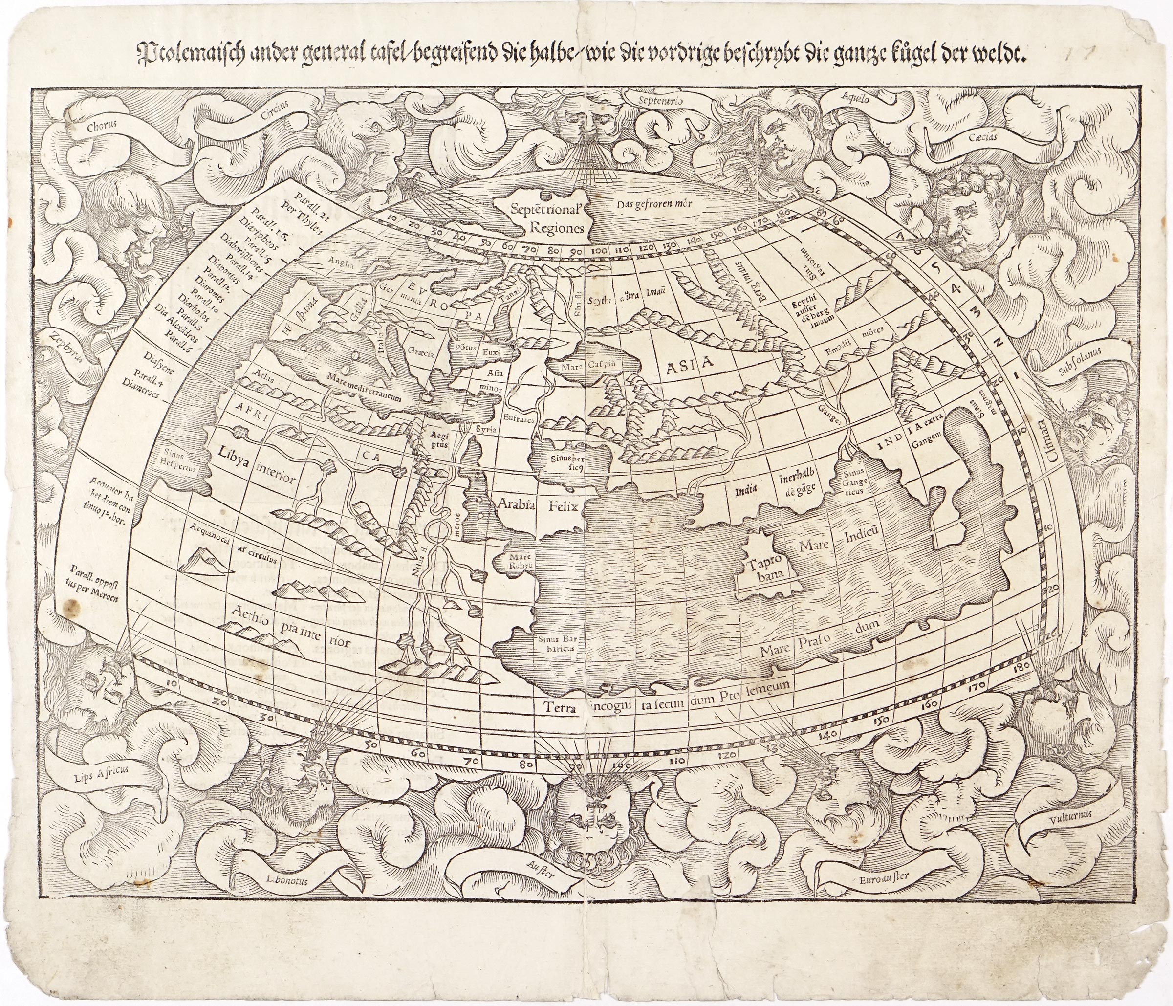
Ptolemaisch General Tafel, Begreisend der Halben Andern Weldt Beschrybung

c. 
1544
Author
Sebastian Münster
Publisher
Heinrich Petri, Basel
Width × Height
 × 
 cm
(
0
 × 
0
 in)
Type
Antique original

Full title

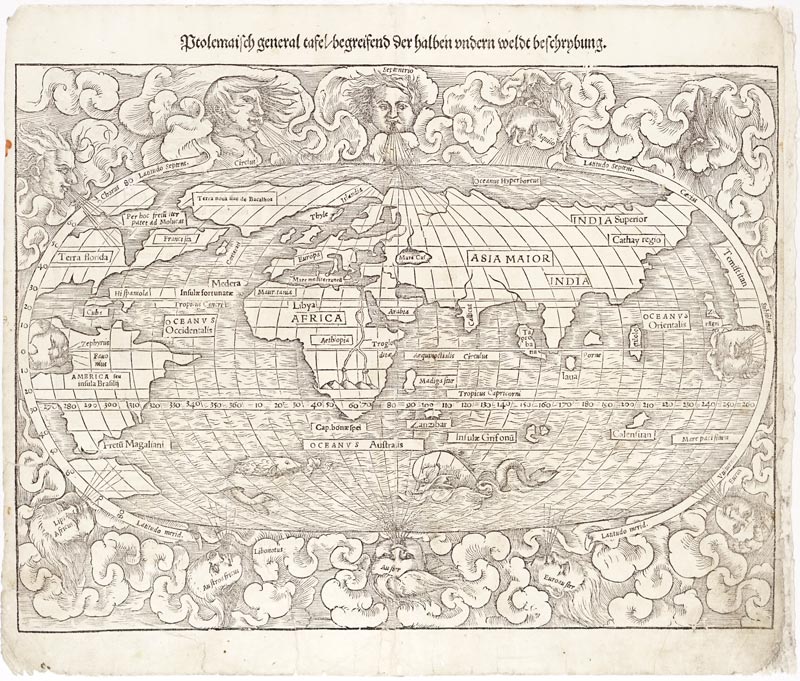
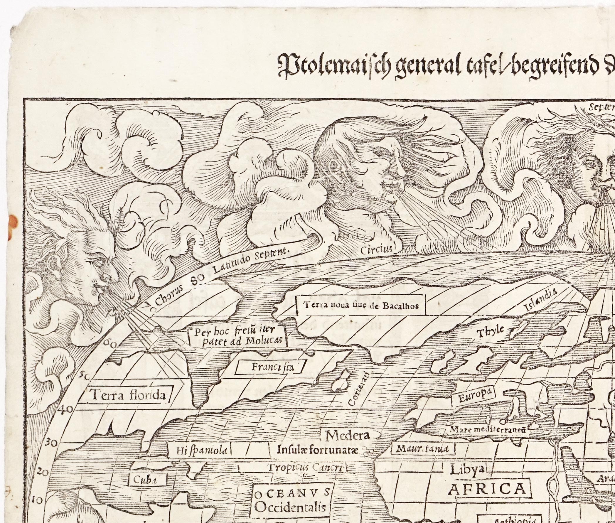
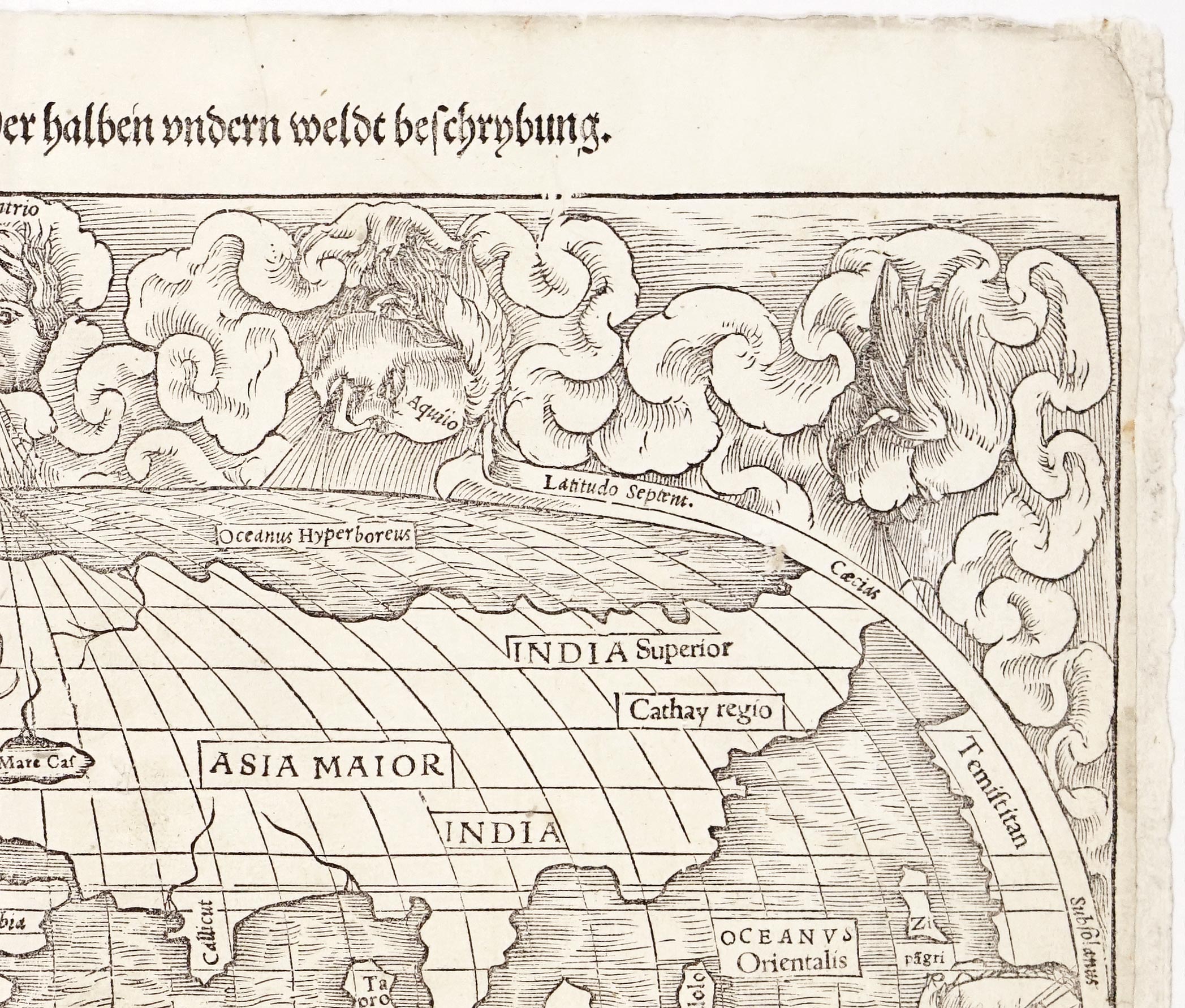
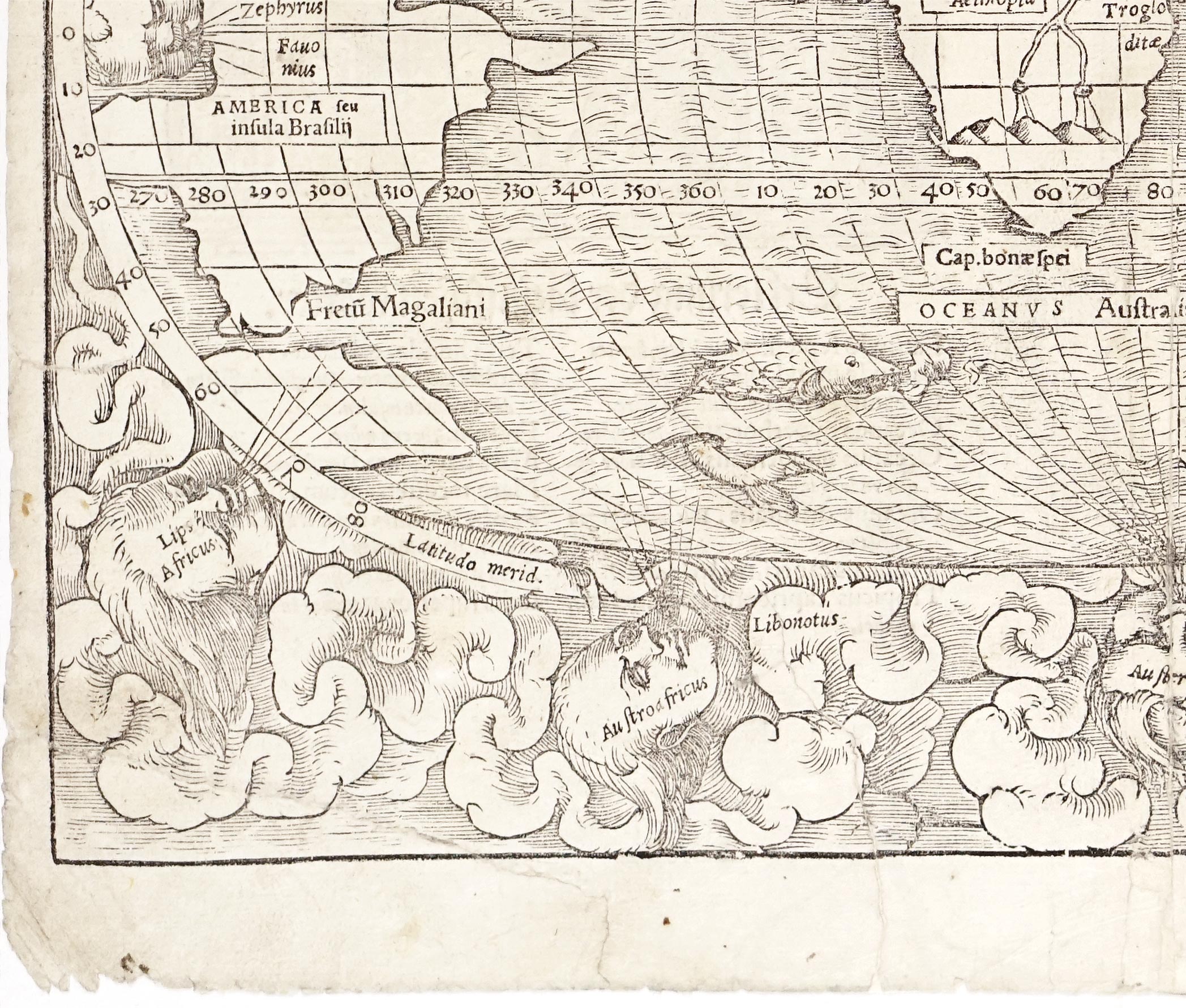
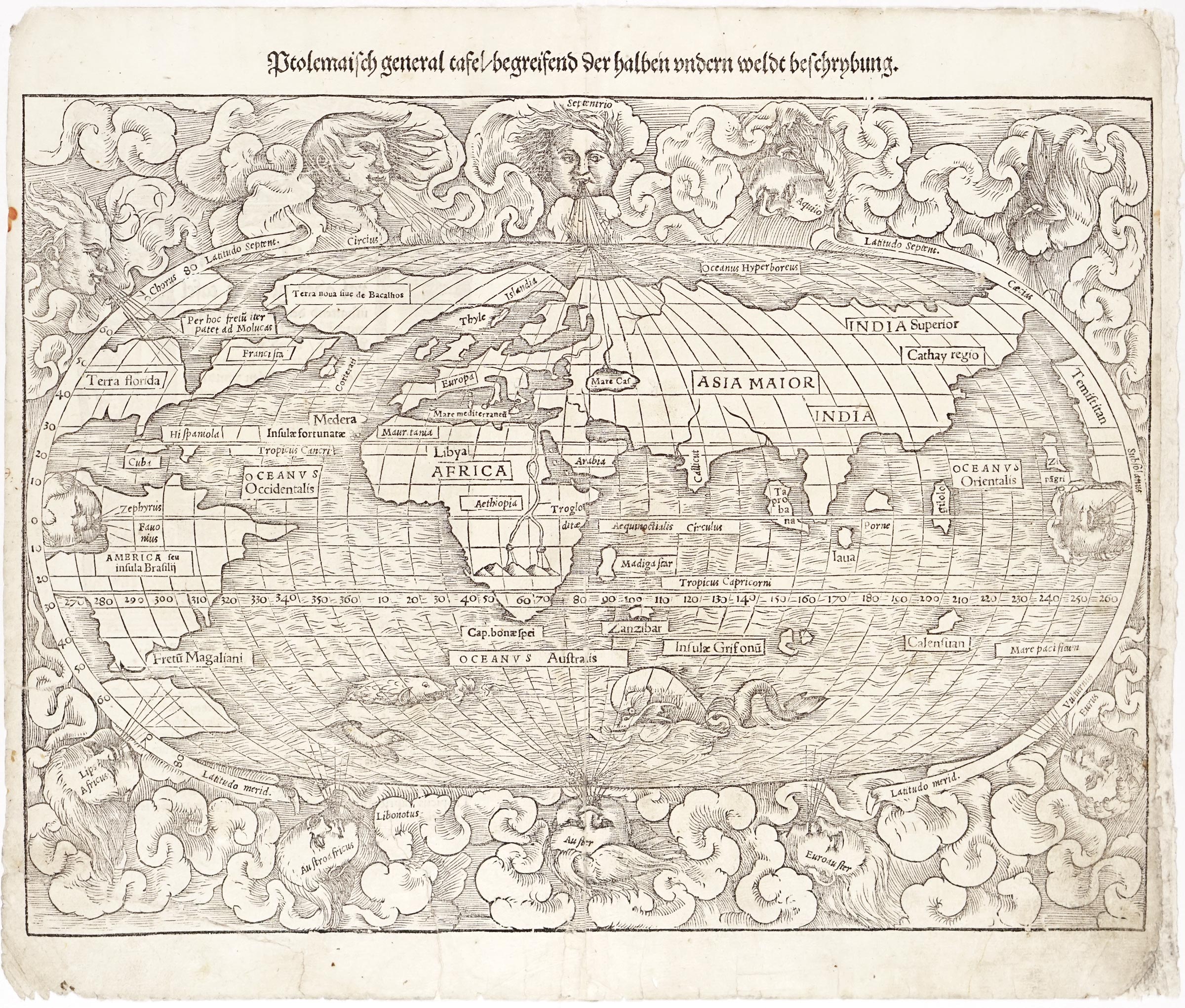
This iconic woodcut world map, titled Ptolemaisch General Tafel, Begreisend der Halben Andern Weldt Beschrybung, originates from the 1544 first German edition of Sebastian Münster's landmark geographical work, Cosmographia. Designed in a distinctive oval projection, the map vividly illustrates the early sixteenth-century cartographic transition from classical Ptolemaic geography to the rapid discoveries of the Age of Exploration. This print represents the first state of the map, identifiable by the absence of the engraver's initials "DK" (David Kandel) in the bottom-left cloud corner—a mark that was only added to the woodblock for the revised 1550 and later editions. The map is one of the earliest relatively easily obtainable world maps that explicitly names the American continent (AMERICA seu insula Brasilii).

Sebastian Münster (1488–1552) was a German cartographer, scholar, and professor of Hebrew and mathematics at Basel. First published in 1544, his monumental Cosmographia became one of the most widely read and influential geographic texts of the Renaissance, running through nearly forty editions in six languages. Münster revolutionized cartography by providing comprehensive encyclopedic descriptions alongside separate maps for each of the known continents, serving as a vital bridge between classical antiquity and modern geographic understanding for the European public.

The map contains a wealth of additional fascinating features that capture the unique state of Renaissance world knowledge:

  • Region of Americas: Key Atlantic and American regions are clearly delineated, including Terra noua sine de Bacalhos (referring to Newfoundland, the "Land of Codfish"), Terra florida, and Hispaniola anchoring the Caribbean.
  • Temistitan: Positioned along the far right edge of the map, Temistitan (Tenochtitlan / Mexico City) is depicted as the hypothetical westernmost coast of the North American landmass.
  • Magellan’s Strait: At the southern tip of South America, Fretu Magaliani marks the Straits of Magellan, honoring Ferdinand Magellan’s historic discovery of the passage just two decades before the publication of this map.
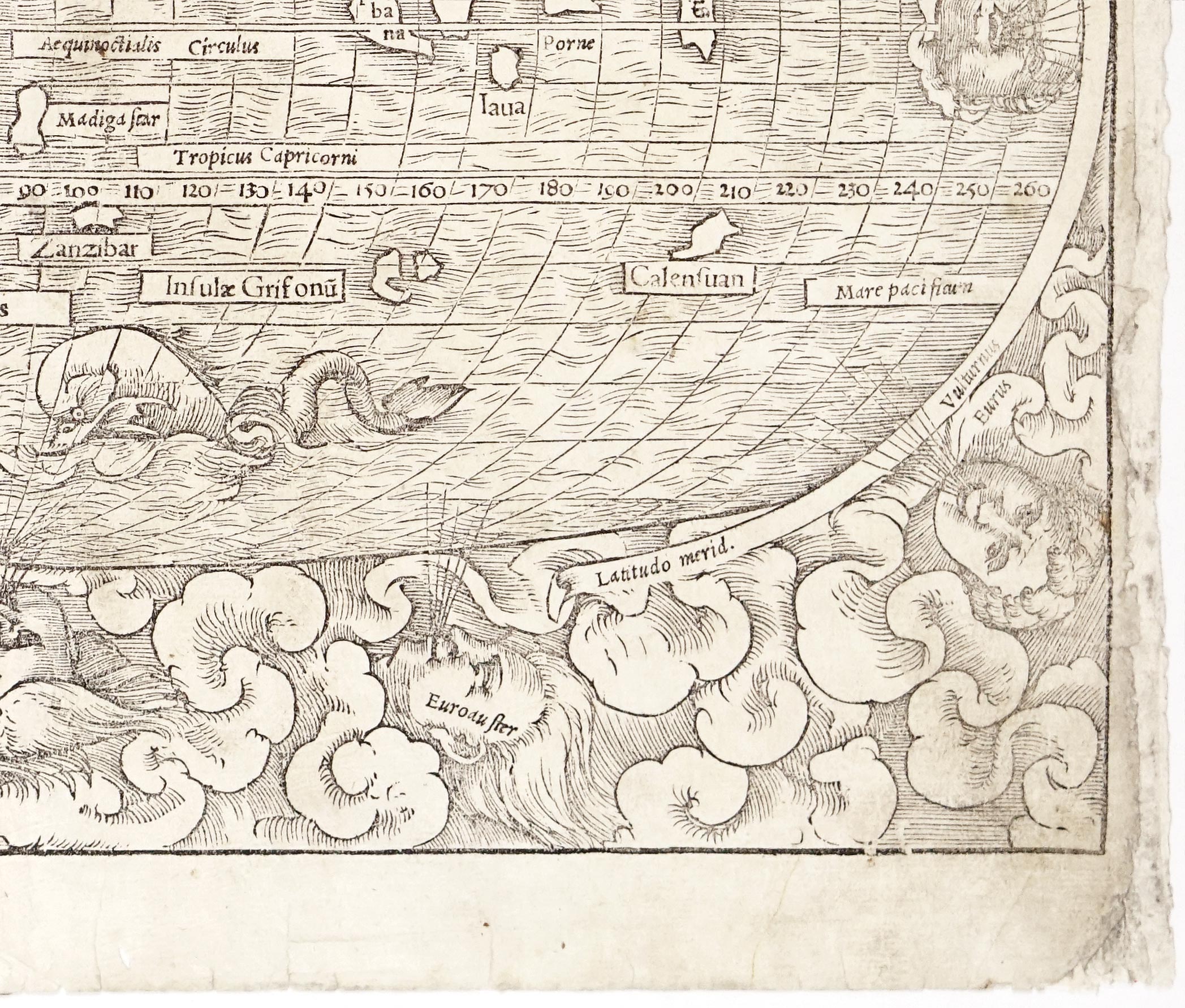
  • Islands of the Indian and Pacific Oceans: The eastern waters feature a mix of genuine geographical locations and fantastical places stemming from Marco Polo's travel accounts, classical antiquity, and early exploration rumors. Alongside real islands like Zipagri (Japan), Gilolo (Halmahera/Moluccas), Iava (Java), Porne (Borneo), and Taprobana (Sri Lanka / Ceylon), the map includes mythical islands such as Calensuan and Infulz Grisonū (the Island of Griffins).
  • Decorative Elements and Sea Monsters: Encasing the entire oval projection are twelve traditional windheads embedded in swirling cloudscapes, while dramatic sea monsters and a Renaissance sailing ship navigate the southern oceans, artfully blending empirical discovery with contemporary maritime legend.

About the author

Condition

Good condition overall, strong impression. Some deterioration of the paper along the edges, right margin of the sheet extended.

Price:
1900
Ask for price
Sold
Leave us your email below and we will let you now when it becomes available again.

Interested in buying this map?
We can ship worldwide! Ask for a shipping quote or let us know if you are considering buying this map.

By submitting this form, you agree to be bound by Atlaseum's Terms & Conditions and Privacy Policy.
Thank you!
Your submission has been sent! We will get back to you as soon as possible.
Oh no!
Something went wrong while submitting the form. Please try it again later.

Interested in the price of this map?
Ask us in the form below. We can ship worldwide!

By submitting this form, you agree to be bound by Atlaseum's Terms & Conditions and Privacy Policy.
Thank you!
Your submission has been sent! We will get back to you as soon as possible.
Oh no!
Something went wrong while submitting the form. Please try it again later.

Want to be notified when it becomes available again?Leave us your e-mail below and we will let you know.

By submitting this form, you agree to be bound by Atlaseum's Terms & Conditions and Privacy Policy.
Thank you!
Your submission has been sent! We will notify you when this atlas becomes available again.
Oh no!
Something went wrong while submitting the form. Please try it again later.