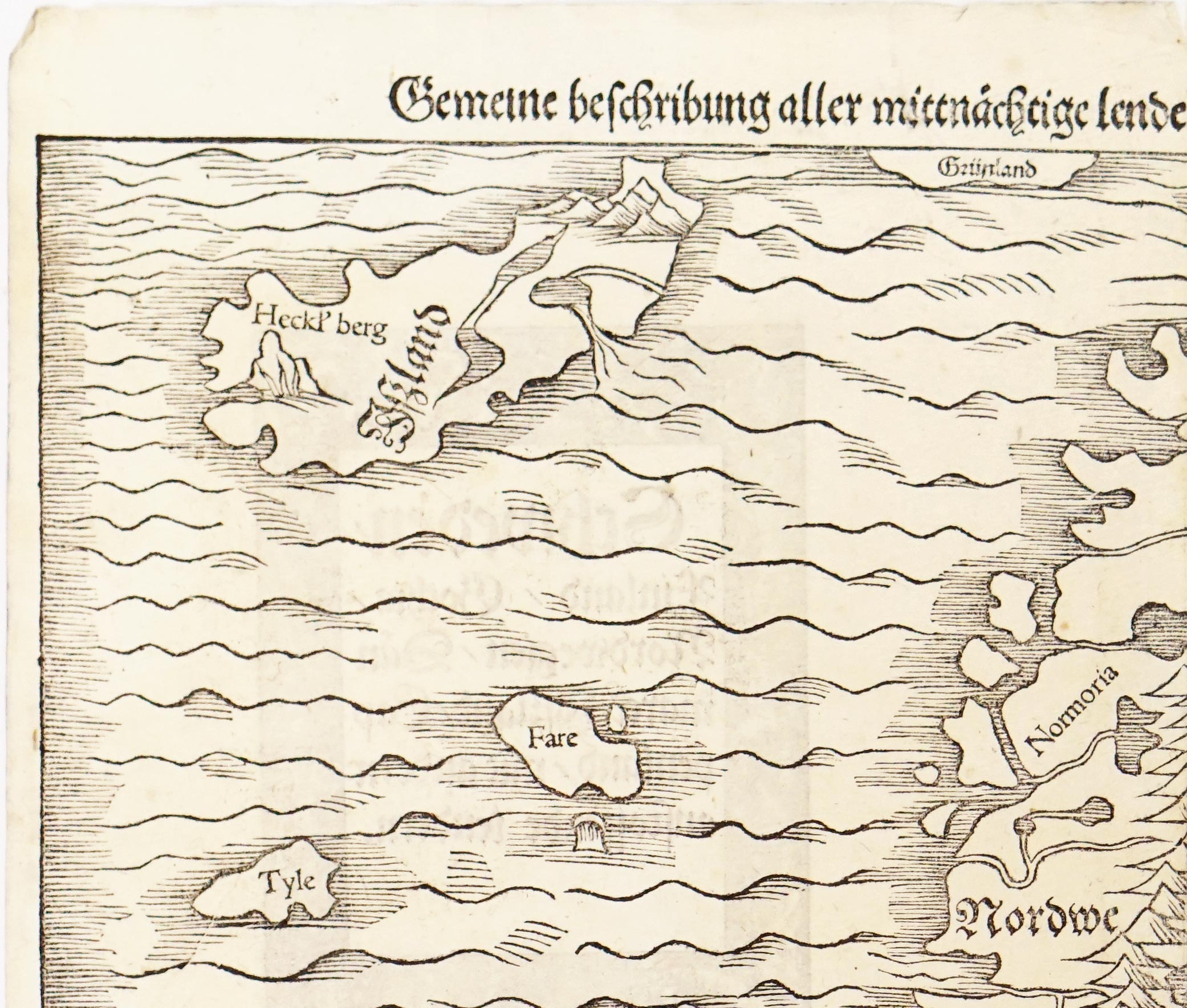
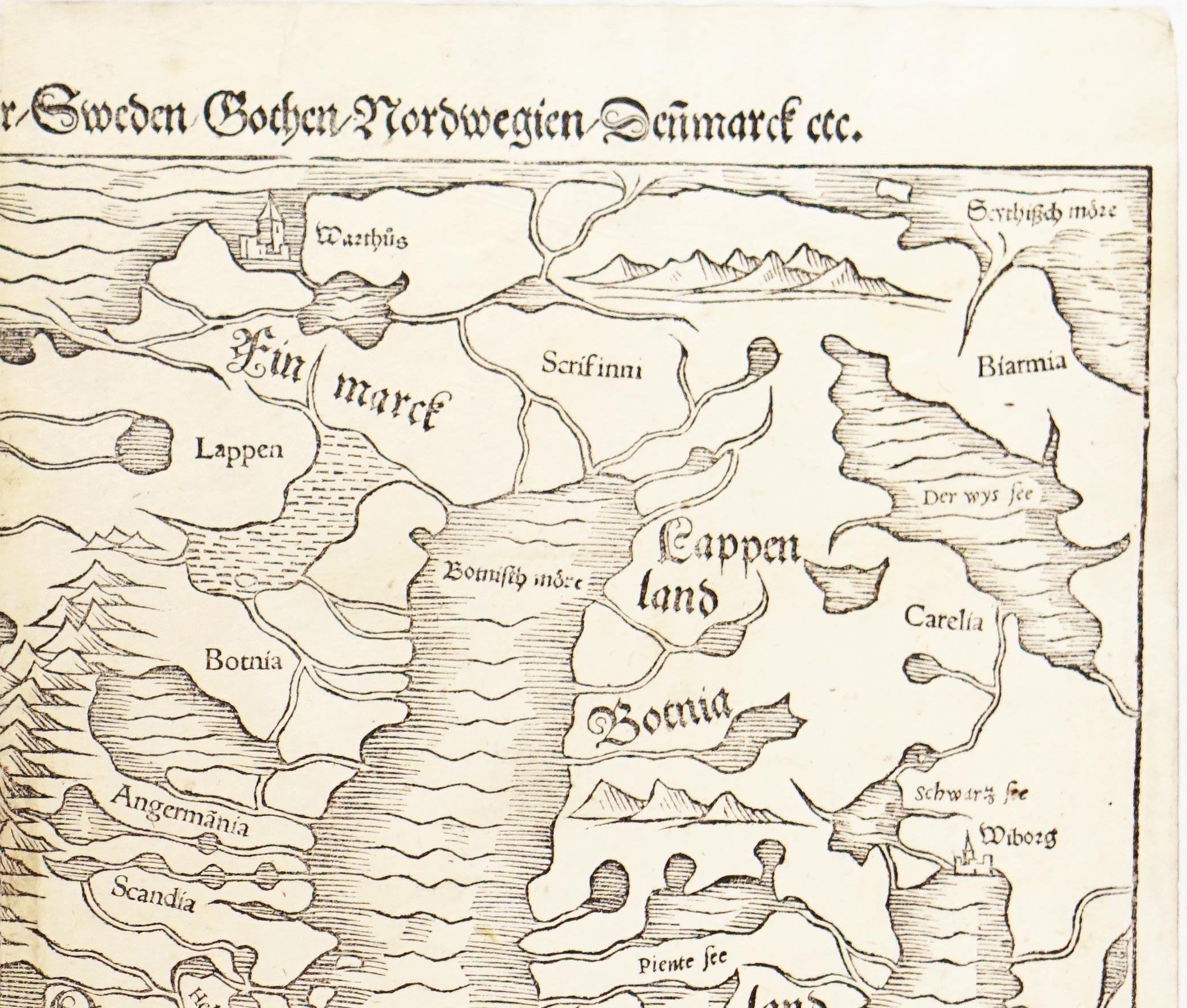
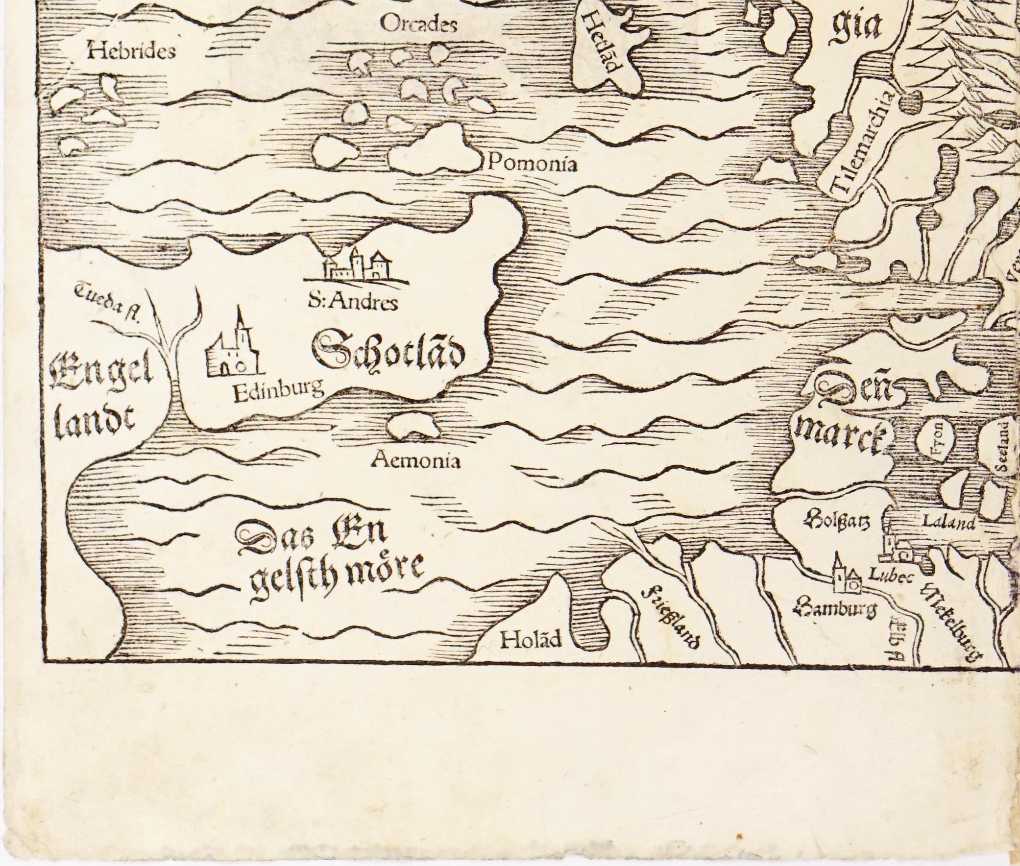
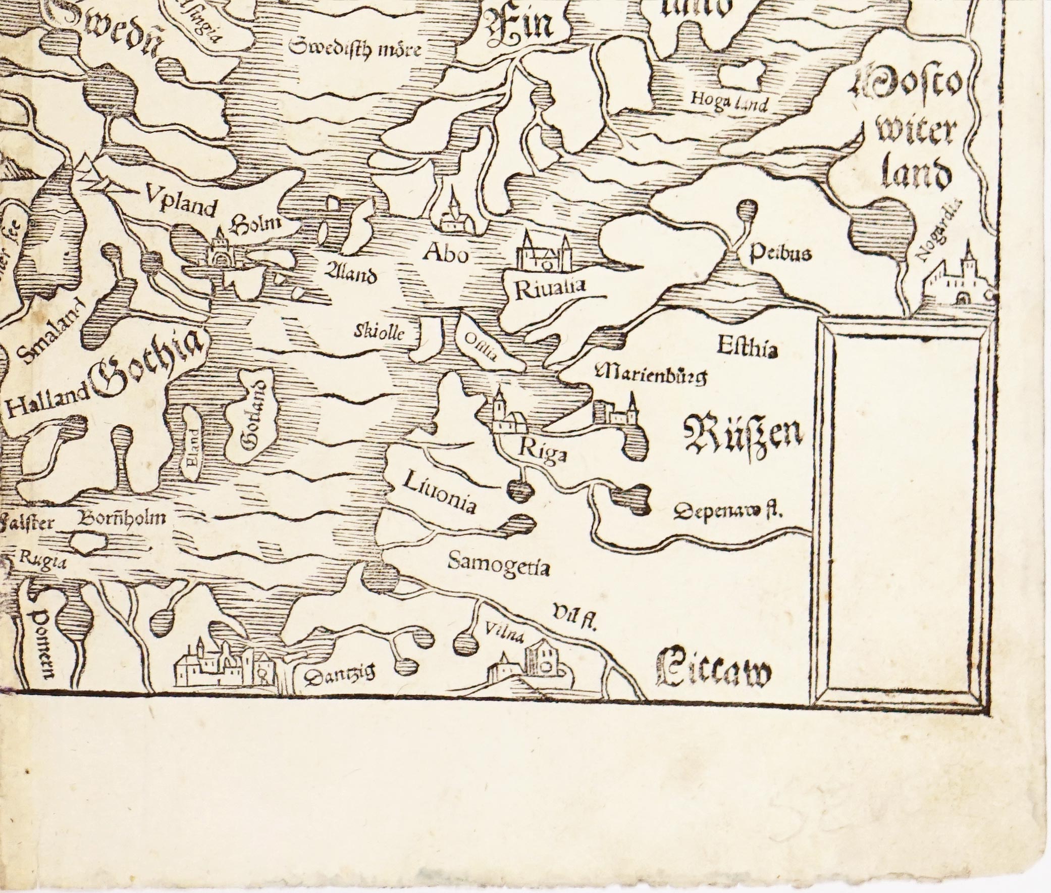


Published in Basel in 1544, Gemeine beschribung aller mittnächtige lender... is one of the earliest separate woodcut printed maps dedicated specifically to the Nordic lands. Issued within the landmark first edition of Sebastian Münster’s Cosmographia, this piece offered sixteenth-century European readers their first affordable, widely circulated visual entry into the geography of Northern Europe. Printed by Münster's stepson, Heinrich Petri, the map stands out as a prime example of early-modern German print culture and Renaissance cartographic dissemination.
Münster’s Cosmographia was arguably the most successful geographical work of the sixteenth century. First printed in German in 1544, it represented an ambitious attempt to weave together cartography, history, natural science, and cultural ethnography into a single encyclopedic work. Following its initial German release, its massive popularity led to roughly forty editions spanning over a century, along with translations into Latin, French, Italian, Dutch, and Czech. While earlier geographical treatises remained restricted to scholars who knew Latin, the initial German edition brought complex regional geography to a broad, literate public. Münster's correspondence network with scholars across Europe allowed him to continuously update and expand the text and map set across subsequent editions.
The map encompasses the North Sea, the Baltic, and the Arctic fringes, spanning from Scotland (Schotlad) and Denmark (Denmarck) north to Iceland (Island), Norway (Nordwegia), Sweden (Swedia), Finland (Finland), and the western borders of Russia (Rüßen). The title's use of mittnächtige lender ("midnight lands") highlights the Renaissance fascination with high latitudes and the phenomenon of the midnight sun. Rather than treating Scandinavia as a monolithic block, Münster carefully distinguishes regional realms—notably separating Swedia from Gothia (Götaland), as well as highlighting northern regions like Lappen (Lapland) and Finmarck.
The geography of this 1544 woodcut is primarily a direct synthesis and simplification of Olaus Magnus’ monumental 1539 Carta Marina. Where Olaus Magnus produced a massive, nine-sheet wall map laden with intricate detail and local folklore, Münster expertly distilled that data into a manageable, double-page book format. He also drew upon earlier fifteenth-century Scandinavian outlines by Claudius Clavus and Jacob Ziegler, purging many of the medieval distortion errors that had persisted since Ptolemy.
Technically, the map was carved into woodblocks Place names were often set using movable lead type inserted into cutouts directly within the wood block. Inland, topographical features are conveyed through textured mountain ridges, and in the far northwest on Iceland, Mount Hekla (Heckl berg) is distinctly depicted as an active volcano.
Good condition overall, strong impression.
Interested in buying this map?
We can ship worldwide! Ask for a shipping quote or let us know if you are considering buying this map.
Interested in the price of this map?
Ask us in the form below. We can ship worldwide!
Want to be notified when it becomes available again?Leave us your e-mail below and we will let you know.