By clicking “Accept All Cookies”, you agree to the storing of cookies on your device to enhance site navigation, analyze site usage, and assist in our marketing efforts. View our Privacy Policy for more information.
No items found.
No items found.
Atlases

Stielers Handatlas, 10th edition

1930
Prof. Dr. H. Haack
Gotha: Justus Perthes

Full title

Stielers Hand-Atlas 254 Haupt- und Nebenkarten in Kupferstich. Zehnte Auflage. Hundertjahr-Ausgabe Von Grund aus neubearbeitet unter Leitung von Prof. Dr. H. Haack in Justus Perthes' Geogr. Anstalt

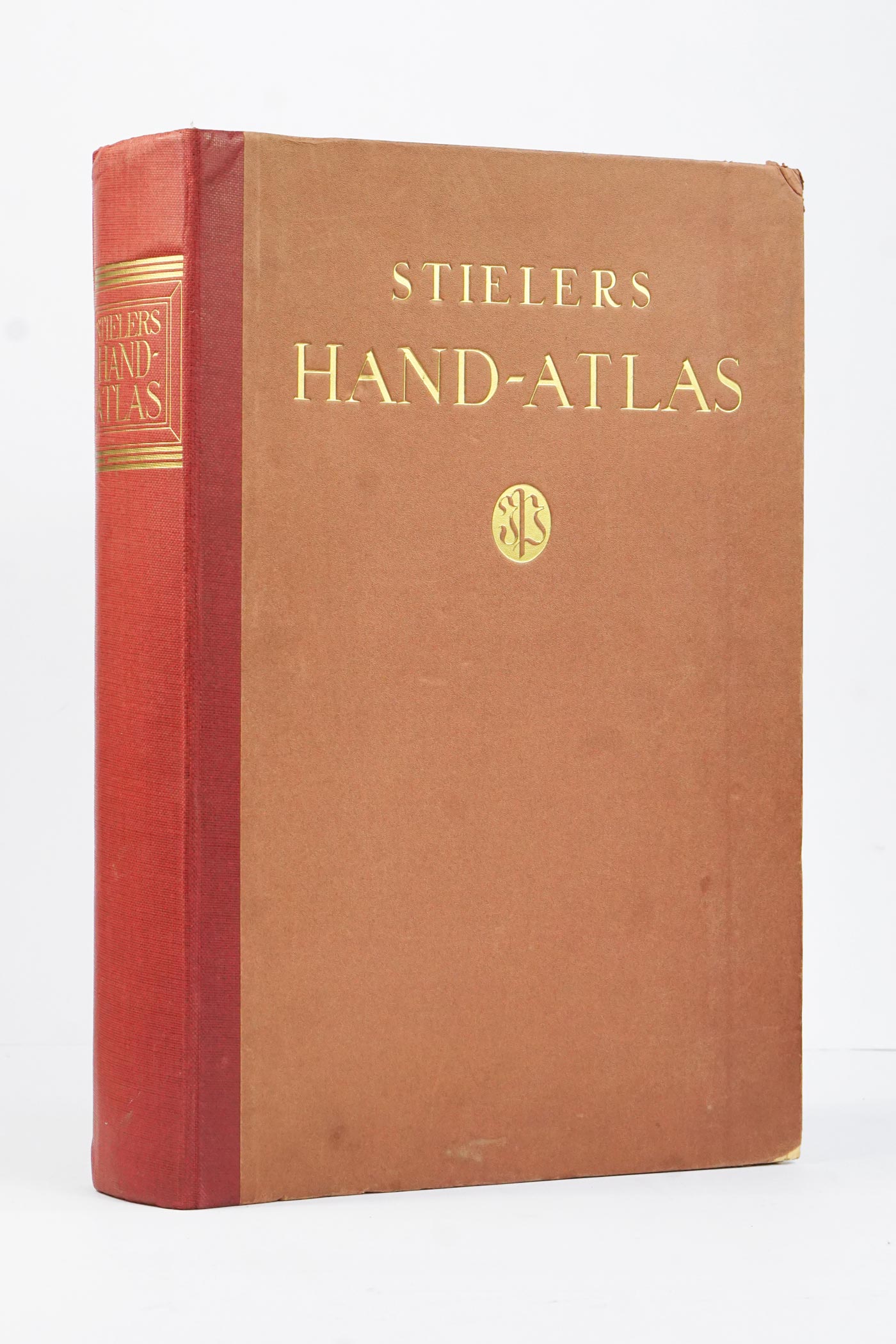
10th and last edition of probably the most popular large german "Hand-Atlas". It is unsurprisingly also the largest edition ever made with exactly 108 douple page maps of the whole world. As usual, Stielers presents the whole world rather evenly with obvious exception of Germany and middle Europe (which is newly presnted at a smaller scale of 1:925 000). The 10th edition comes with sveral completely new maps from developing regions (2 from eastern Europe , 6 from Middle- and East- Asia, 2 from Africa and 2 from Australia and New Zealand). My absolute favourite maps are still maps #3 and #4 - North and South Pole - both showing dated journeys of polar explorers and expeditions.

Condition

The book cover is showing some wear on edges and also has some spots. The spine cover is torn about 5 cm from the bottom on front edge. Several of the first pages including the title page were damaged on the corners and are repaired now (the extent can be seen in photos #2-3). The binding is solid and no pages are loose. The pages show some yellowing on sides but otherwise are clean and generaly with no marks. Overall good condition for its age.

Maps
108 double page maps
Width × Height
40 x 27
cm
Total map area
23.3
m2
Weight
5.3
kg
Price:
 €
Ask for price
Sold
Leave us your email below and we will let you now when it becomes available again.

Interested in buying this atlas?
We can ship worldwide! Ask for a shipping quote or let us know if you are considering buying this atlas. We can send you more photos or answer any questions.

By submitting this form, you agree to be bound by Atlaseum's Terms & Conditions and Privacy Policy.
Thank you!
Your submission has been sent! We will get back to you as soon as possible.
Oh no!
Something went wrong while submitting the form. Please try it again later.

Interested in the price of this atlas?
Ask us in the form below. We can ship worldwide!

By submitting this form, you agree to be bound by Atlaseum's Terms & Conditions and Privacy Policy.
Thank you!
Your submission has been sent! We will get back to you as soon as possible.
Oh no!
Something went wrong while submitting the form. Please try it again later.

Want to get this atlas?Give us your e-mail and we will let you know, once the atlas becomes available again.

By submitting this form, you agree to be bound by Atlaseum's Terms & Conditions and Privacy Policy.
Thank you!
Your submission has been sent! We will notify you when this atlas becomes available again.
Oh no!
Something went wrong while submitting the form. Please try it again later.

Related atlases: