


The second edition of the thematic atlas "for the school and household," as mentioned in the subtitle, presents an intriguing compilation of illustrations showcasing plants, animals, and people and how they are distributed around the Earth. It complements traditional atlases by offering a more immersive visual experience, with a reduced emphasis on geography itself. It addresses a gap in the series of geographical teaching materials which may be incomprehensible or bothersome for both teachers and students.
The atlas consists of 15 double-page plates, each featuring a small geographical map of a continent with numbers indicating the approximate locations of the subjects depicted in the illustrations on the page. Every continent is depicted through three maps (zoological, botanical, and ethnographical), except for Australia, where people and plants share a single plate. In the case of the Americas, there's a dedicated zoological plate for the northern and southern parts of the continent.
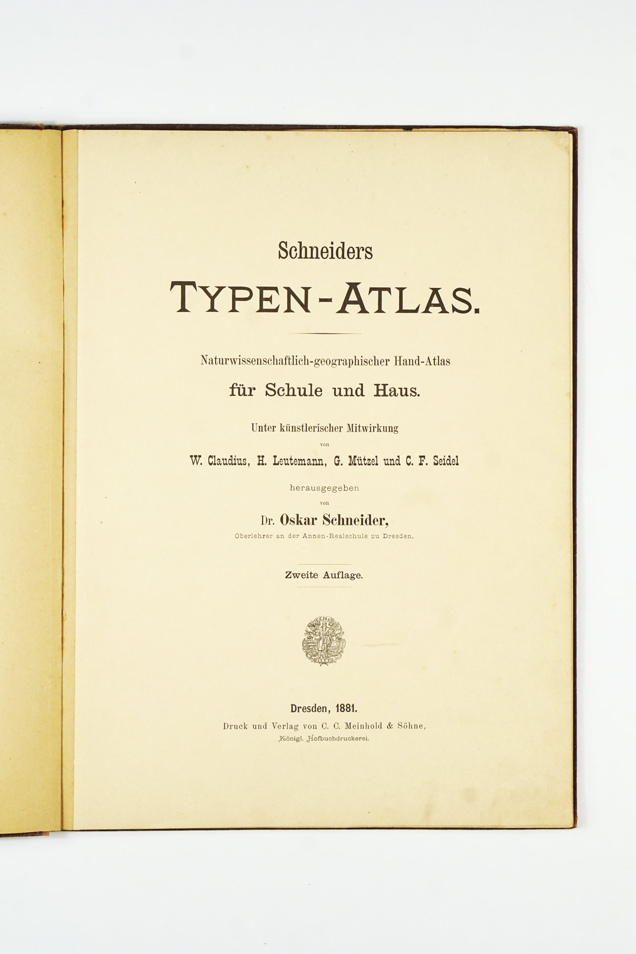
Following the success of the initial edition, which saw a limited print run of 5000 copies, the second edition was released a mere 3.5 months later. Given the short timeframe, revisions primarily focused on correcting misprints. In addition to German, the second edition was subsequently published in English, Dutch, Hungarian, Czech, French, Danish, and Swedish.
Good condition overall, both endpapers have tears running along the hinges. Cover slightly rubbed around edges as well as the spine which has a small tear at the bottom. The binding is a little bit slack but all the pages are still attached to it. Sheets are relatively clean with light signs of use which can be expected with an atlas of this age.
Interested in buying this atlas?
We can ship worldwide! Ask for a shipping quote or let us know if you are considering buying this atlas. We can send you more photos or answer any questions.
Interested in the price of this atlas?
Ask us in the form below. We can ship worldwide!
Want to get this atlas?Give us your e-mail and we will let you know, once the atlas becomes available again.


