


Rare geographical-scientific atlas from Henri Louis Nicolas Duval, a knight of the Legion of Honor and a professor of Geography, Belles-lettres and more, adopted by the Royal Council of Public Instructions for Universtiy Establishements. The title page is followed by a letter from Henri Duval to a "Monsieur André Leroux", leading member of the Royal Order of the Legion of Honor, expressing his gratitude for adopting the atlas by the Royal Houses of Education of Legion of Honour.
By allowing me to dedicate this Book to you, you are adding to the many tokens of friendship with which you continue to shower me. Happy to be able to testify to you on this day highly all my gratitude Your vote being for me the sweetest reward for the pains I have taken to make this work worthy of your approval, please, Sir, accept the homage, as a just tribute of respect, sincere affection and gratitude, Of your very humble and very obedient servant,
Henri Duval
Paris, 1st November 1837
The goal of this atlas was, according to its author, to publish a work that simplifies the science with order and clarity, which a 'man of a letter' can quickly grab and check for a date, fact or scientific notion. The scientific tables
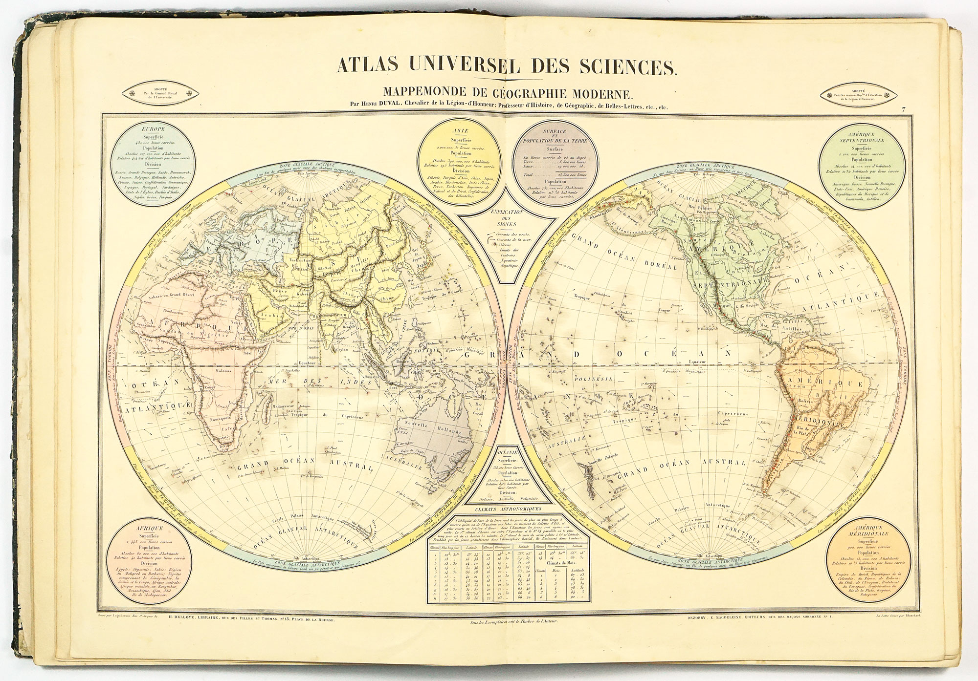
The content of the atlas could be divided into three main parts, first comprising of 6 charts of ancient historical geography, followed by a chapter with 30 'modern' history charts. Maps of both sections contain hand border- as well area-coloured geographical-historical thematic maps with. Besides the maps, the charts contain structured content about historical geography, nationalities, important people, genealogic charts, chronological list of dated events etc. This section also contains the map of the World in hemispheres with basic statistics about population, area and climat. The map shows schematic topography including non-existent (speculative) mountain range "Mons de la Lune" in central Africa, region that was yet to be re-discovered by Europeans.
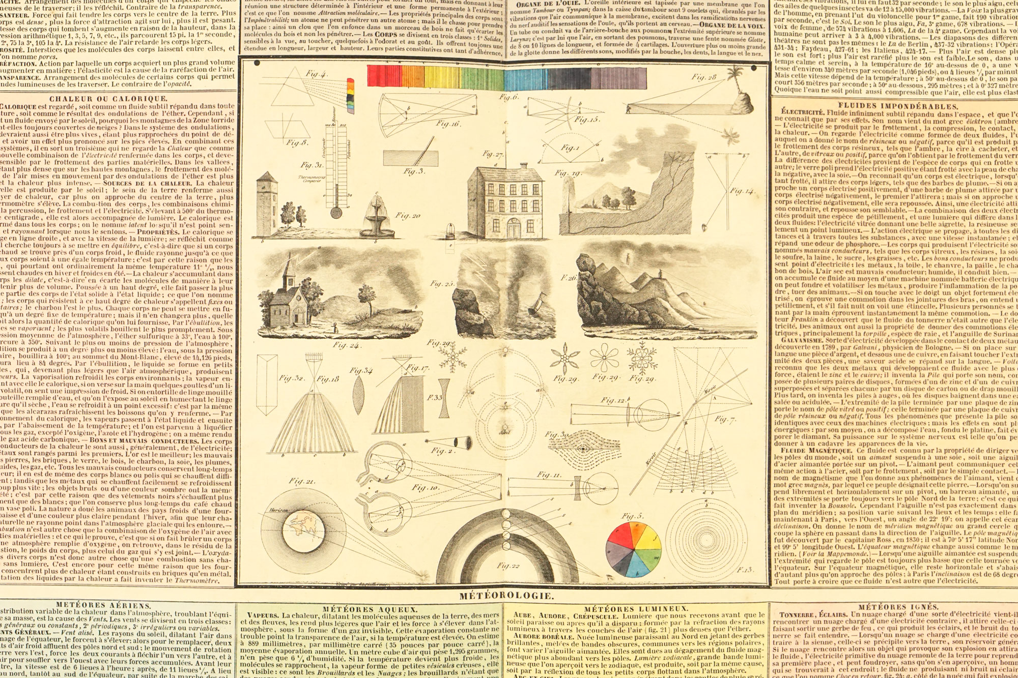
The third section comprises of 14 thematics charts, covering topics like physics, meteorology, chemistry, geology, astronomy, religion, natural sciences, animal species, plants, geometry, mechanics and also not to forget chart French grammar and table of rhetoric.
Externally little bit roughed up, with heavier abrasion of the cover, mainly et the edges. Original binding with leather spine remains well intact, with only a minor (1 cm) tear at top front joint. Plate number 1 has the outer edges frayed a little. Overly yellowed pages with sporadic light foxing. Number 42, Reptiles, has closed teared for about 8 cm. On map 46 a closed tear running partial across the page and across the fold. Some other maps may have short fold tear. At the rear endpaper around 10 cm long closed tear.
Interested in buying this atlas?
We can ship worldwide! Ask for a shipping quote or let us know if you are considering buying this atlas. We can send you more photos or answer any questions.
Interested in the price of this atlas?
Ask us in the form below. We can ship worldwide!
Want to get this atlas?Give us your e-mail and we will let you know, once the atlas becomes available again.


